Agriculture Surveying
Supporting Central Oregon farms and ranches with precision surveying and aerial mapping.
Agriculture Services
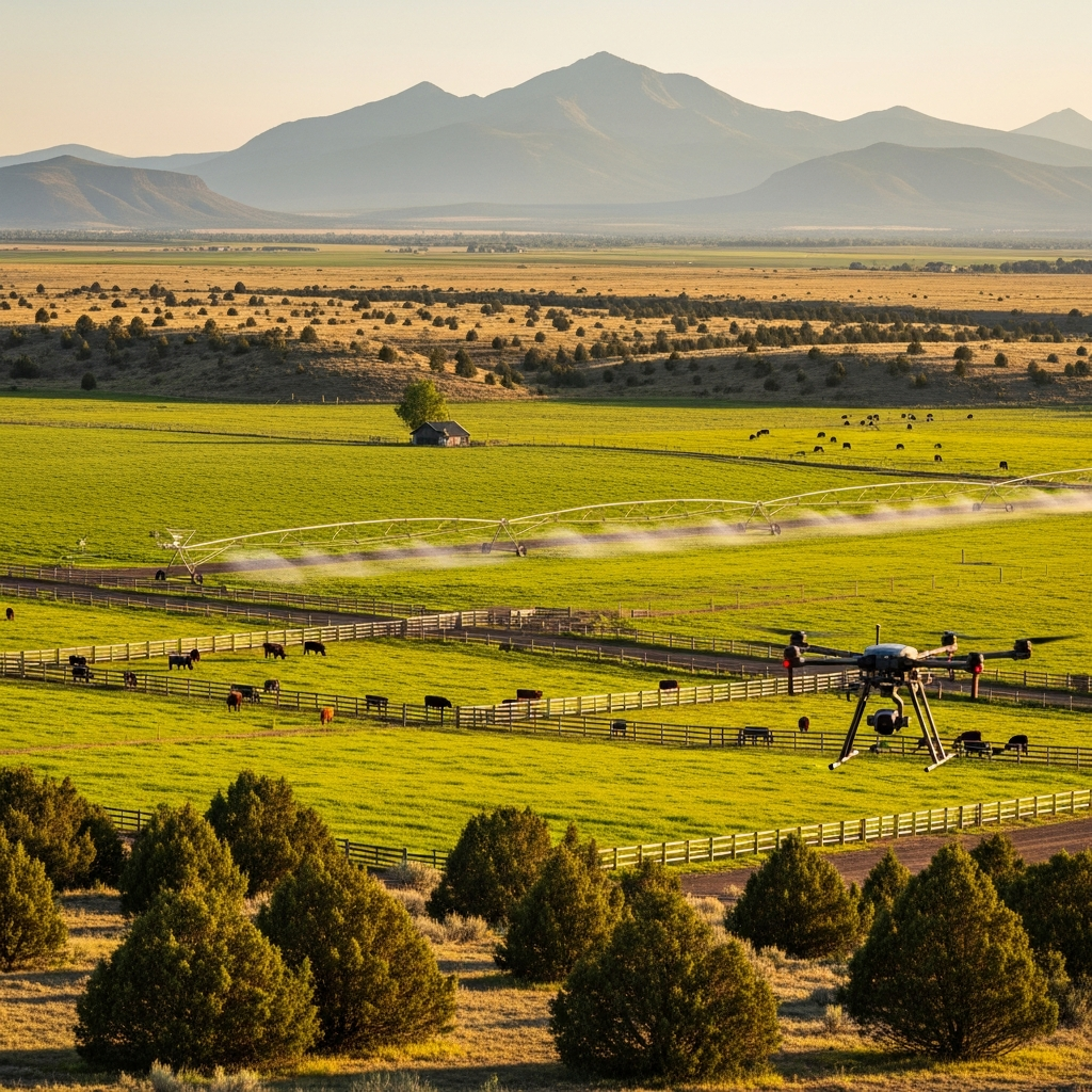
Central Oregon agriculture depends on precise water management, accurate property boundaries, and smart land use. Our team serves farms and ranches across Jefferson, Crook, and Deschutes counties with irrigation system mapping, water rights surveys, fence line verification, and aerial crop assessments. With deep roots in this agricultural community, we understand the unique challenges rural property owners face.
What We Offer
Services for Agriculture
Surveying solutions tailored to agriculture projects
Common Questions
Agriculture FAQs
Yes. We work with irrigation districts and property owners to survey water rights boundaries, ditch easements, and irrigation infrastructure. Accurate surveys are essential for water rights adjudication and transfers.
Our drones capture high-resolution imagery for crop health assessment, irrigation system mapping, drainage analysis, and acreage verification. Aerial surveys cover large properties quickly and cost-effectively compared to ground-based methods.
Yes. We regularly survey properties ranging from small hobby farms to ranches spanning thousands of acres. Our GPS and drone technology makes large-property surveys efficient and accurate.
Ready to Start Your Agriculture Project?
Contact us today for a free estimate tailored to your agriculture surveying needs.