Energy Surveying
Powering Central Oregon energy projects with precise corridor and site surveys.
Energy Services
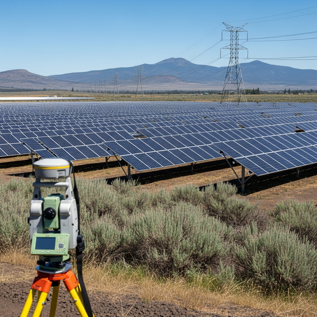
Energy infrastructure projects require specialized surveying for corridor routing, site assessment, and regulatory compliance. Our team surveys utility corridors, solar farm sites, wind energy installations, and pipeline routes across Central Oregon. We combine traditional land surveying with drone technology to deliver comprehensive topographic data, easement documentation, and environmental baseline mapping that energy projects require.
What We Offer
Services for Energy
Surveying solutions tailored to energy projects
Common Questions
Energy FAQs
A utility corridor survey maps the proposed route for power lines, pipelines, or other utilities. It includes topographic data, property boundaries crossed, existing easements, environmental features, and access points. This data is essential for route planning, permitting, and easement acquisition.
Yes. We provide topographic surveys, boundary surveys, and drone-based terrain analysis for solar installation sites. Accurate grading data ensures optimal panel placement and helps engineers design efficient installations.
Absolutely. Our drone surveys capture detailed topographic data along proposed pipeline routes quickly and safely. The resulting elevation models and orthophotos help engineers plan routes that minimize environmental impact and construction cost.
Ready to Start Your Energy Project?
Contact us today for a free estimate tailored to your energy surveying needs.