Aerial Drone Surveying
FAA Certified Pilots Using Advanced Drone Technology
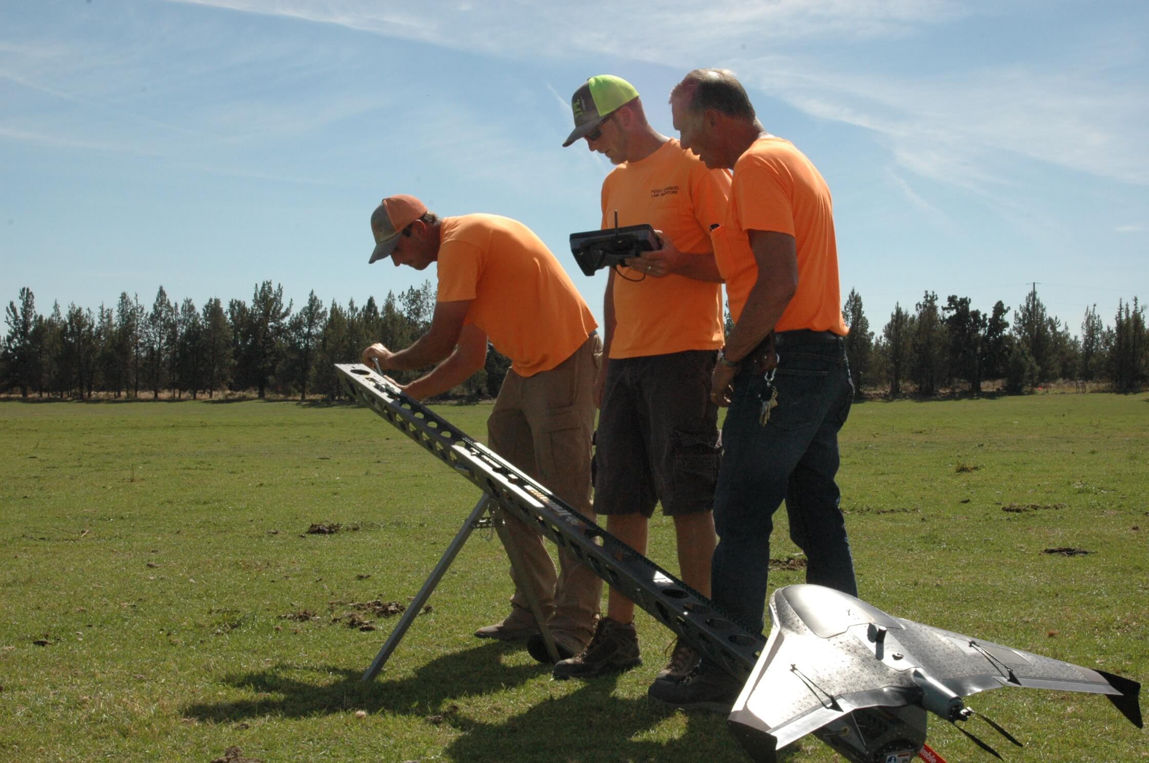
Advanced Aerial Mapping
Our FAA certified pilots use advanced WingtraOne Mapping Drone technology for high-accuracy aerial imaging and data collection. This cutting-edge technology allows us to survey large areas quickly and safely while maintaining the precision our clients depend on.
Drone surveying provides detailed aerial data that complements traditional surveying methods, offering cost-effective solutions for a variety of applications.
Drone Service Applications
Aerial Mapping
High-resolution orthomosaic maps and digital elevation models for planning, design, and documentation.
Volumetric Calculations
Accurate stockpile measurements and cut/fill calculations for construction and mining operations.
Construction Monitoring
Regular progress documentation with visual records and comparison analysis throughout your build.
Agricultural Assessment
Crop health monitoring, irrigation planning, and drainage analysis for Central Oregon farms and ranches.
Real Estate Photography
Professional aerial photography and video for property marketing and development visualization.
Infrastructure Inspection
Safe, efficient inspection of roofs, towers, bridges, and other structures without scaffolding or lifts.
Frequently Asked Questions
Common questions about drone surveying services
Explore Our Other Services
Need Aerial Mapping?
Contact us today for a consultation and free estimate.